Nice beach, yurt, scenic, steep trail to or from Grace Ridge higher elevations
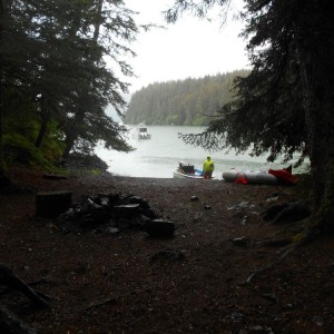
Established state park campsite with tent sites, a fire ring, food storage box, latrine, and bulletin board w/ state rules. Trail access to south Grace Ridge, and a yurt is a short trail nearby. Good water from nearby stream. Most visitors spend the night at the tent sites or yurt, but some day visitors use the Grace Ridge Trail. Water taxis, kayaks, and small boats pull in at the beach access to access camping and the south Grace Ridge Trail.
Photos

2 Comments
Dave Brann
Hats off and a big thank you to Eric Clark and the State Park Trails Crew for clearing a hugh amount of blowdown on the South Grace Ridge Trail-especially on a very rainy day.
Dave Brann
The map pin for South Grace Ridge has been changed to its correct location thanks to Scott Meyer.