Good launch/take out site, depending on tide. No facilities. Trash and debris from partiers. Not recommended for camping. No water unless treated. Good picnic site or emergency haul out at high tide. 4-wheeler access from end of East End Road, or walking down switch back. Easy boat access at high tide but long, muddy walk at low tide.
Vessel Access:
High tide only
Access Difficulty:
Only at high tide
Hazards:
Muddy beach
Photos


.JPG)


5 Comments
Hal Shepherd
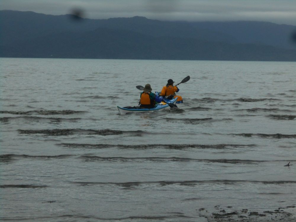
October 4, 2015: After checking the weather, ocean conditions and tide tables several times, decided that the conditions were good for a paddled to the Switch Back Trail. I had left my kayak at Kilcher Beach before hand so I only had to carry the gear in a backpack down from the Homestead to the Beach. Put in at Kilcher Beach at 7:35 am and paddled to Swift Creek. Stopped at East End B&B on the way. The Fall scenery was beautiful along much of the route and took lots of pictures. Arrived at the Switch Back trail at around 10:30 am but could not get to the road beach due to the amount of mud. Weather was partly sunny and seas ranged from calm to 1’ swells. Got a ride back up on 4-Wheeler to Homestead Parking Lot from Otto Kilcher. This trip emphasized the need to time trips so that one arrives and leaves the campground at Mossy's Cabin at high tide otherwise the area becomes unaccessible by foot especially when carrying gear. In my case, I arrived 3 hours passed high tide and the water continued to receed rapidly during the 20 minutes or so that I had a pretty long slog before I could get back in the boat.
Lisa Holzapfel
On this 1-1:30 hour crossing you do need to be able to handle quick changes in the weather as you are totally exposed at the head of the bay while crossing over.
Lisa Holzapfel
Aug. 18, 2014, 9:45 AM, As the weather began to clear we started our paddle across the bay, heading over to Chugachik Island. True to form, about 20 minutes out the winds began to fill up the bay. The wind built to approx. 10 knots from the SW, with occasional 15 knots. Seas primarily 1-2 feet, with an occasional 3 foot wave.
Lisa Holzapfel
The Switchbacks are not for the light-hearted. they are seriously steep with turns that are sharply banked. It would be quite easy to roll a vehicle, especially if the road is muddy after heavy rains, as the clay surface would be very slick. We were able to reach the ocean easily with a 13.3 foot high tide.
Dave Brann
The Switchback Trail (road) can be intimidating if you have never been down it. Best to go with an experienced person the first time. Four-wheel drive and no trailers or RV's.