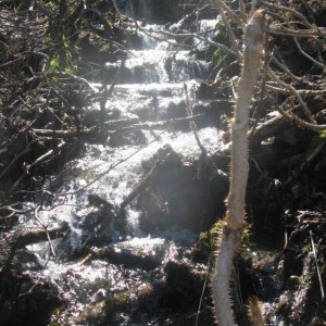
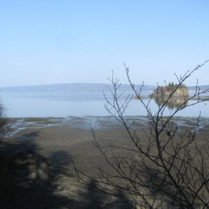
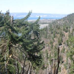
Potential site at entrance, north side of bay near rocky outcrop. Tent site w/ platform. Undeveloped stream for water. Trail marker to Portlock Valley, sometimes maintained and ends at Portlock Creek. Berry picking but watch for bears. Gravel beach is easy at high tide; follow channel to the right at mid tide, inaccessible at low tide. Channel is very shallow and may go dry at low tide.
Access Difficulty:
accessible at 17 + tide, channel to right side of bay
Photos
5 Comments
Hal Shepherd
May 4, 2014 Mallard Bay Kayaking/Trail Maintenence Notes 6:00 am – Started paddling at Kilcher Beach to Mallard Bay – 4.5 miles. Near North side of shore, spotted many shore birds including several loons who were calling as I launched. Also, spotted about a dozen sea otter. The water was like glass near the shore. 6:45 am – About midway across the Bay some small waves stated to form but the water was still mostly calm with no breeze and the paddling was still very easy. 7:00 am – As I neared the South shore, the water turned into glass like conditions again and the paddling was extremely easy and enjoyable. 7:30 am – Started seeing seabirds and otters again. As I got closer to the South side of the bay, I ran into what could only be described as an Otter nursery where I counted 8 mother baby pairs. 7:40 am – Hit South side of Bay after 1 hour and 40 minutes of paddling at mouth of Portluck River. Just east of Mallard Bay about 100 yards from water taxi pick-up spot. Called home and radio worked fine. Said she could see me through binocs from the house due to paddle flash. 8:45 am - Found campground and Mallard Bay trailhead. Changed into dry clothes and radiod OO – still working. Beautiful here – this is still a wild place. Discovered that I left the machete out at put-in and the hand saw that State Parks gave me is missing a bolt where the blade attaches to the handle. Going to try and repair. 9:45 – 11:30am Get brush to clear Mallard Bay Trail. Managed to find trail using maps & studying landscape. Trail was heavily over grown w/pushkie & willow. Could not repair saw so clearing trail slow going. 11:30 am Hiked back to camp to call home on radio. 12:30- 4:00 pm – Cleared trail for 1 mile on Mallard Bay Trail. 4:00 pm – Back at campground. Very windy & choppy on the Bay. I discovered that my cell phone worked there including a strong signal. Checked e-mail & called home and Water taxi. 6:15 pm – Paddled around Mallard Bay which had waves by this time but no white caps. 6:45 pm Took water taxi to Saddle Cove & then back to Homer.
Lisa Holzapfel
August 21, 2014 We set up our three tents on incredibly flat ground with fine sand. In light winds it is fine. I could only imagine a full gale out on the exposed spit. It would not be a good place to camp in bad conditions. There was a definite cold evening draft coming down glacier, making the temperatures much colder at this camp site.
Lisa Holzapfel
August 20,2014 The best part about waking up to an alarm to check boats is the chance to get outside and see the magnificent stars and Milky Way. Tucked back into Mallard Bay, we had no city lights and an unobstructed clear sky. After a long summer of nearly constant light, it is comforting to see the seasons change and the full night sky return.
Lisa Holzapfel
Aug. 20, 2014 One hour before low tide the whole north half of the bay was dry. During tide cycles with extreme tides, this bay would be inaccessible during low tides.
Dave Brann
Lots of bear sign reported along the shore and up the trail in August, blueberry season.


