Day use area on Homer Spit. Spring bird watching area. Small parking lot.
Day use area on Homer Spit. Former forest, homesteader cabin, picnic site, horse grazing area, and Native site. Known for spring bird watching. Parking area for cars. Floods at extreme high tides. Gradual shallow sandy outer beach is accessible from water by canoe or kayak. Walking to area is from spit trail or leaving car at parking area. Floods at extreme high tides.
Vessel Access:
Best for kayaks and non-motorized boats.
Access Difficulty:
Easy landing in calm waters on outer spit.
Hazards:
Floods at high tide.
Photos
1 Comments
Dave Brann
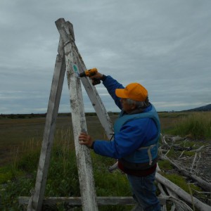
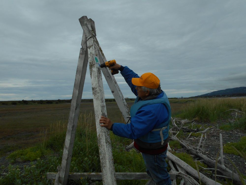
Added a water trail site marker at the Green Timbers site. Nice paddle at high tide, would be a long mud walk at low tide. Check your tide book.