Access Difficulty:
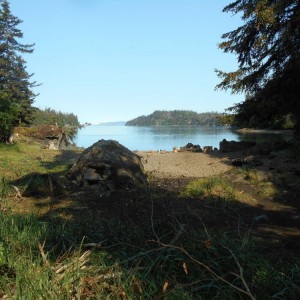
very shallow bay, follow channels or enter at high tide
Photos
2 Comments
Hal Shepherd
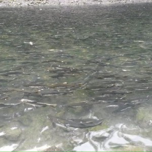
7/21/18: China Poot Paddle/Dipnetting 6:30-7:30am: Attempted to launch at the end of the spit but didn't anticipate the delay in getting past the harbor with all the early morning boat traffic. Sat there for an hour waiting for the stream of traffic to go past before shooting the gap! (Next time probably better to launch from The Rock, head East and then cut back over towards Moose Point to avoid the bulk of the traffic headed West or just wait until later in the morning to launch which can sometimes make it hard to meet tide schedules on the other end). 7:30 - 8:20am: Paddled over from the spit past Gull Island to Moose Point.Saw many shore birds including about 50 Common Mures; 8:20 - 9:20am: Paddled from Moose Point through China Poot Bay to China Poot Creek. 9:30am - 2:00pm: Fished in Creek and Bay. Watched young black bear pounce on a salmon about 20 feet from where several of us were walking down the China Poot Creek trail. 2:15 - 3:15pm: Paddled back to Moose Point. 3:45 - 4:15pm: Took water taxi back to Spit.
Dave Brann
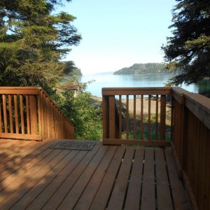
There is now a nice tent platform with a great view of China Poot Bay. There is also a latrine and a fire ring. There are also a couple of nearby campsites. Powerboats approaching the site should be cautious due to mudflats, rocks.


